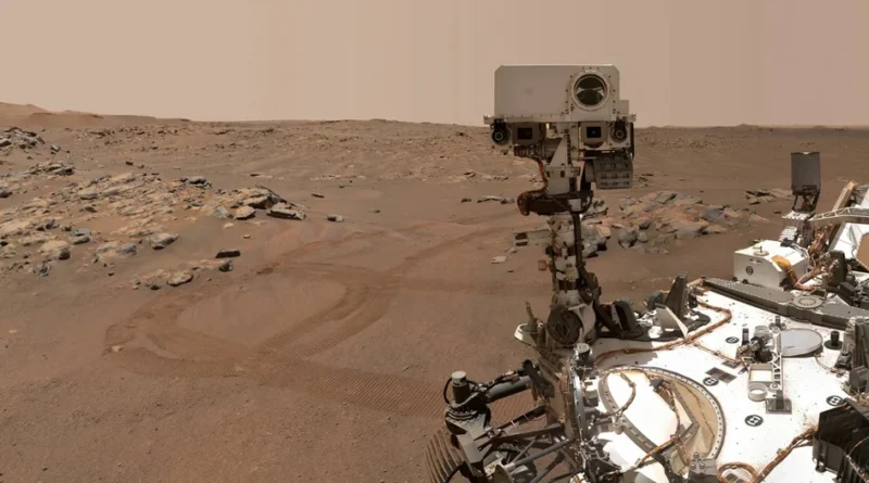
NASA’s Perseverance Rover Learned to Navigate Independently on Mars
Credit: NASA
NASA’s Perseverance rover is now capable of autonomously determining its precise position on Mars for the first time. Previously, the rover relied on visual terrain assessments, taking into account wheel revolution counter readings. This led to positioning errors of up to 30 meters, which is unacceptable for navigation over very rugged terrain. This is now a thing of the past. The new system allows the rover to independently determine its position on Mars with an accuracy of 25 cm.
The Mars Global Localization system compares panoramic images from the rover’s navigation cameras with onboard orbital maps of the terrain. The calculation takes about two minutes, and the coordinate determination accuracy reaches 25 cm. The system was successfully tested for the first time on February 2 and 16.
Perseverance previously required assistance from ground controllers. After each stop, it sent a 360-degree panoramic image back to Earth. Specialists compare this with data from the Mars Reconnaissance Orbiter (MRO), calculate the coordinates, and transmit further instructions to the rover. This process could take more than a day.
The rover now navigates autonomously. This is crucial for the AutoNav system, which allows Perseverance to avoid obstacles en route to a given point. Previously, the range of autonomous travel was limited by cumulative errors: over a long journey, the error could reach 35 meters. Because of this, the rover frequently stopped, waiting for confirmation from Earth.